Port Hope Land Inventory
How to turn public land data into a strategic tool for community investment, housing and long-term growth?
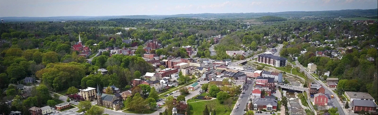
The Municipality of Port Hope owns a significant and diverse portfolio of land, with more than 1,250 hectares representing approximately 4.5% of the Municipality’s total land area. Re:Public Urbanism, working with Parcel Economics, developed a comprehensive land inventory and established a clear framework for how these public assets could support municipal priorities.

Municipality of Port Hope

Port Hope, Ontario

2024

Parcel Economics
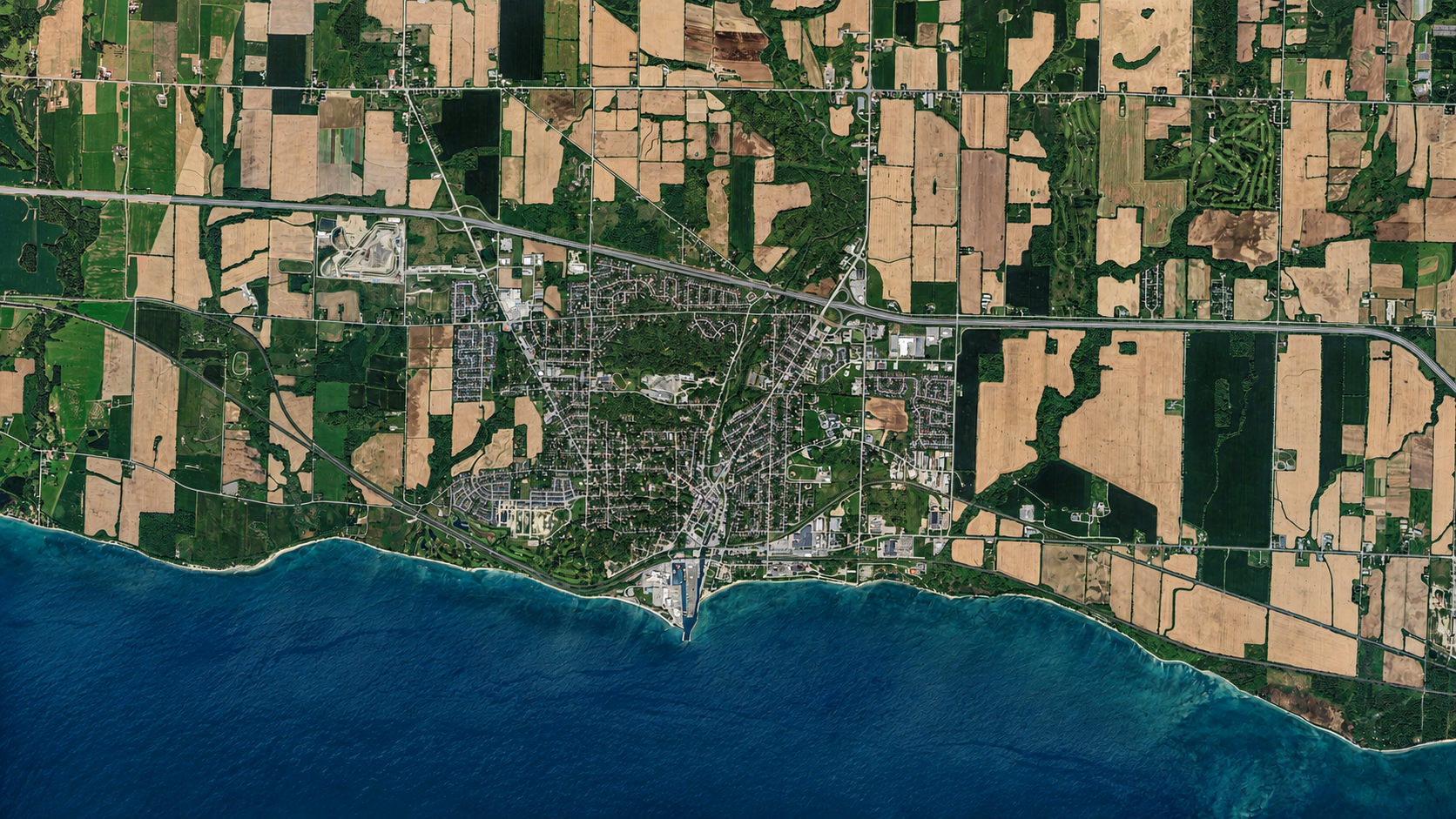
Understanding the Municipality’s Land Portfolio
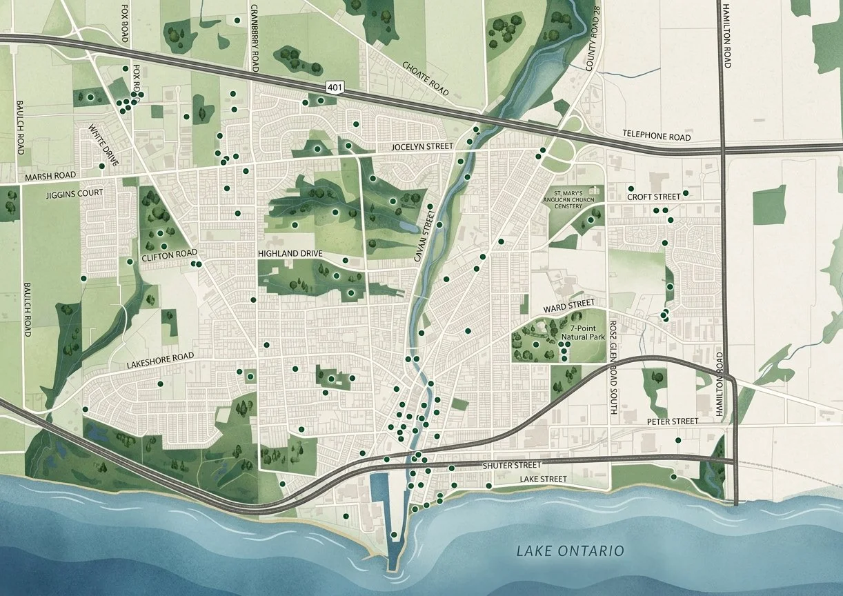
Port Hope’s public land holdings include 338 real-property parcels and 669 rights-of-way, ranging from urban infill properties to waterfront access points and other municipal lands.
Our team brought these dispersed assets together into a centralized inventory, giving municipal staff a clearer picture of what the Municipality owns, where those lands are located, and how individual properties relate to planning, development and community objectives.
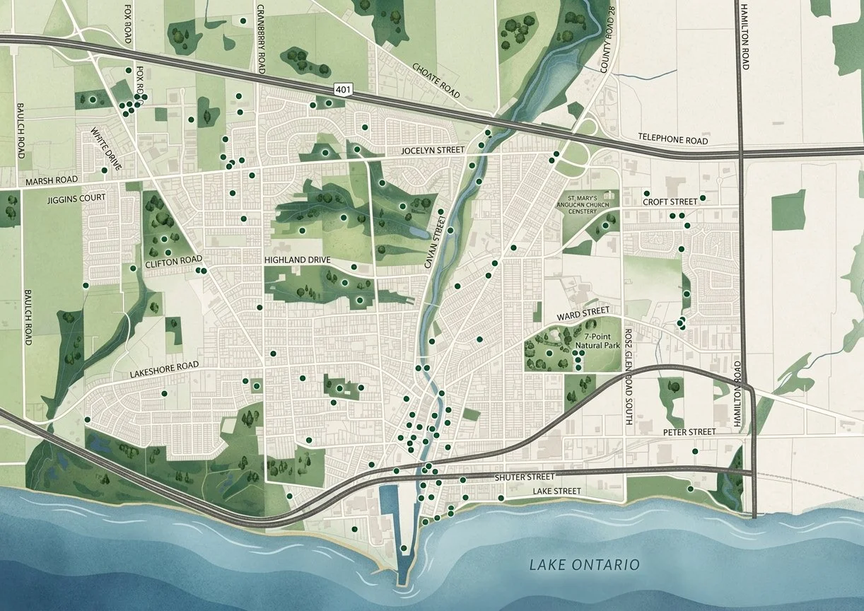

Building a Smarter Digital Inventory
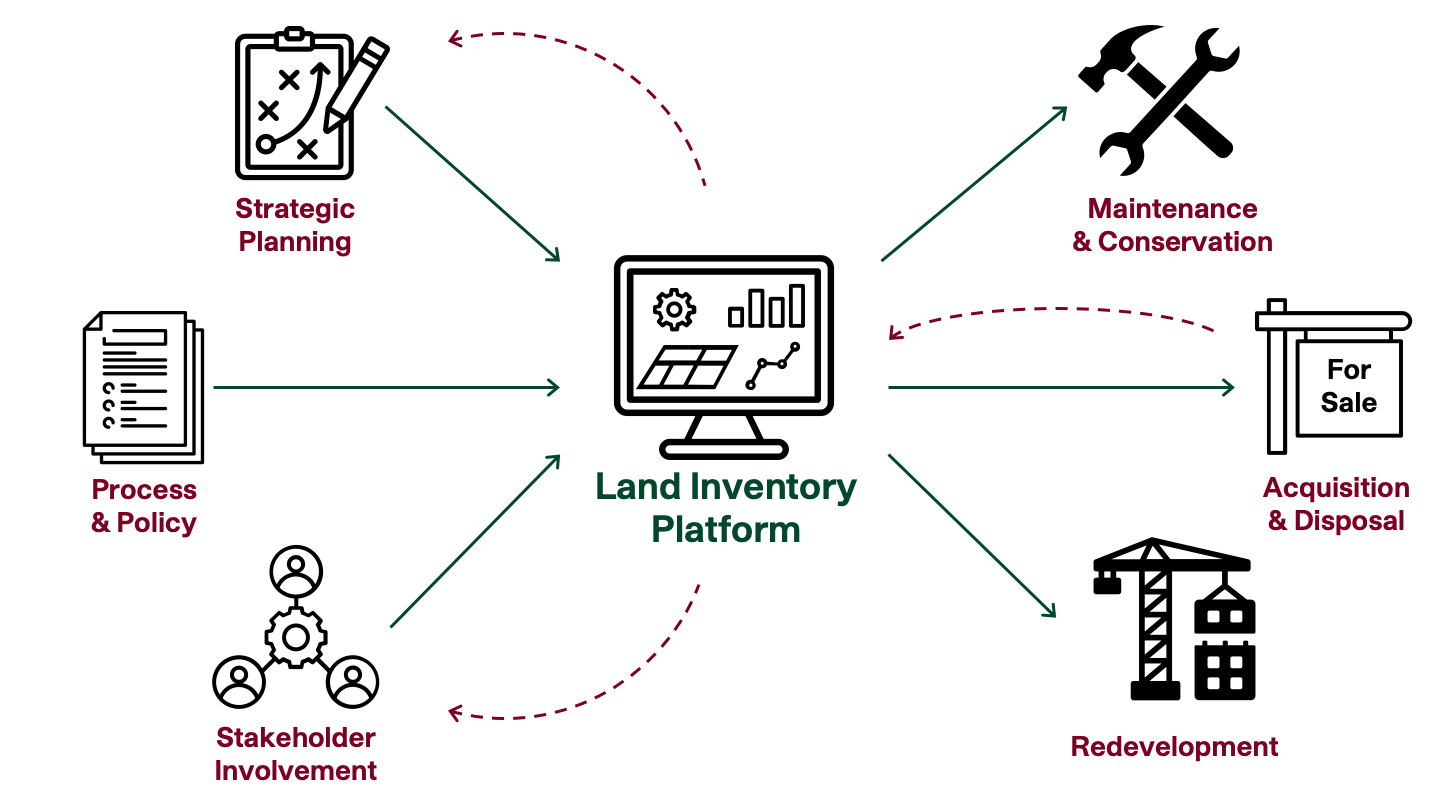
The project went beyond cataloguing properties. We developed a centralized, staff-manageable digital inventory designed to remain useful beyond the life of the study. By organizing key property information within a consistent framework, the inventory provides staff with a practical tool for ongoing land management, analysis and decision-making.

Unlocking Opportunities within Rights-of-Way
The Municipality’s portfolio also included 669 rights-of-way, requiring a different form of analysis from conventional development parcels. This work demonstrated how even relatively small or overlooked municipal land assets can become part of a more strategic land-management program.
Applying a Planning Lens to Every Property
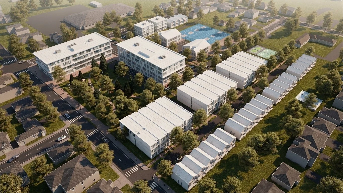
Each property was considered through a broader planning lens, examining its context, potential use and relationship to municipal priorities. This helped distinguish lands that continue to serve an important public function from properties that could potentially support housing, economic development, community uses or other strategic objectives.

Supporting Housing and Economic Development
By identifying strategically located lands and clarifying their development potential, the project provides Port Hope with a stronger foundation for exploring affordable housing, economic development and other community-building opportunities. Rather than waiting for individual properties to become issues or opportunities, the Municipality can now take a portfolio-wide approach to its land assets.

Identifying Opportunities for Surplus Lands
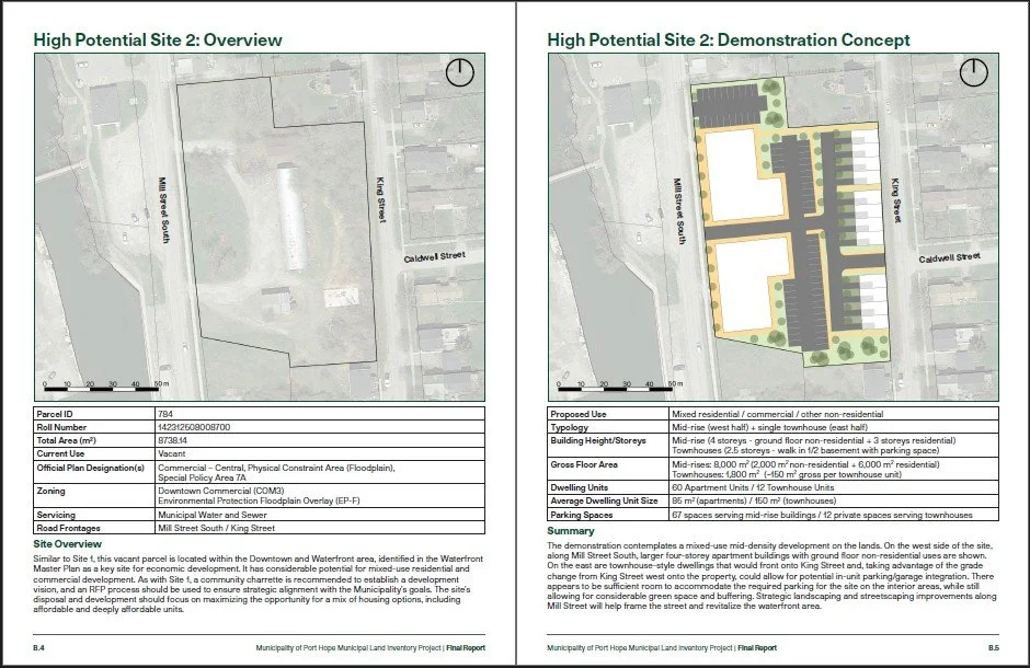
The analysis identified 26 properties with potential for surplus designation. Within this group, six parcels located within the urban fabric emerged as particularly strong opportunities to generate near-term community benefit. These sites offered the Municipality an opportunity to think proactively about how underutilized public land could contribute to broader planning and development objectives.

Modernizing Municipal Land Management
Alongside property-specific recommendations, Re:Public reviewed Port Hope’s land-management approach and proposed policy updates to support a more consistent, strategic and transparent process for identifying, evaluating and disposing of surplus municipal lands.
From Inventory to Action
The final product gives municipal staff and Council more than a database, it provides a framework for making informed choices about public assets.
By combining GIS, planning analysis, development considerations and policy recommendations, the Land Inventory helps Port Hope understand where opportunities exist, prioritize the properties with the greatest potential and move strategically when opportunities for housing, development or community investment arise.
Project Contact

Jesse McPhail
Partner | Urban Planner
mcphail@republicurbanism.com
Featured Projects
-
![]()
Cornwall Community Housing Development Plan
-
![]()
Port Hope Land Inventory
-
![]()
West Nipissing Land Use Strategy
-
![]()
Toronto Zoo Master Plan
-
![]()
Strathroy Downtown Master Plan
-
![]()
Sarnia Waterfront Master Plan