
Call for Municipal Partners
Beyond the Map: Digital Community Planning Platform
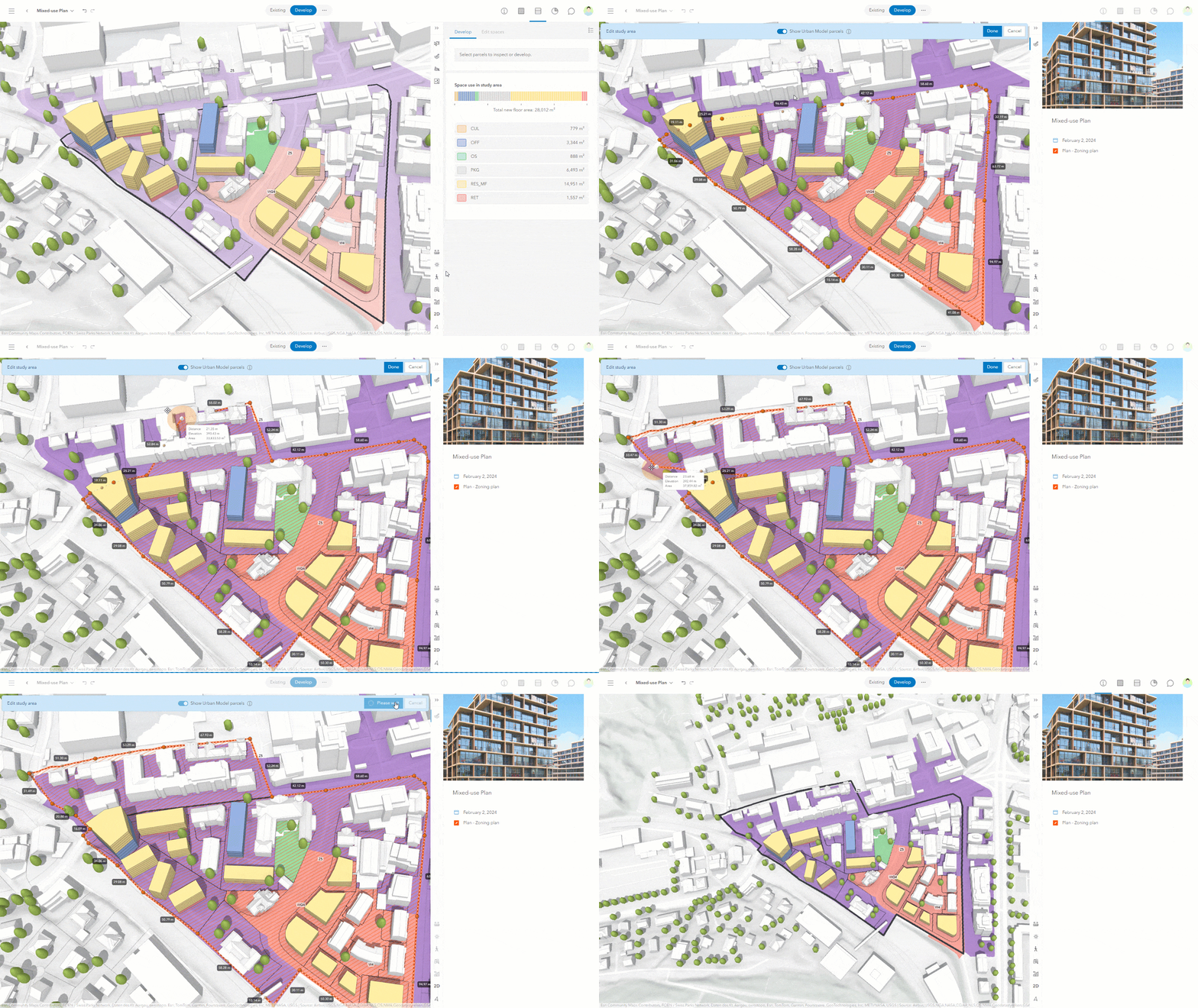
Exploring how digital tools can help municipalities visualize change, test possibilities, and make more informed decisions about the future of their communities.
Municipalities are navigating increasingly complex challenges, from housing pressures and infrastructure demands to climate resilience and changing community needs. Yet, the information needed to make informed decisions is often scattered across multiple studies, datasets, and planning documents.
Re:thinking How We Plan for Growth
What if municipalities could bring all this information together, visualize future possibilities, and explore the impacts of planning decisions in one place?
As part of Re:Public Urbanism's ongoing commitment to research and innovation, we are launching the Community Planning Platform Pilot Project to explore how digital modelling and scenario-based tools can transform the way municipalities plan, evaluate, and manage growth.
From Complex Data to Clear Decisions
Working alongside a municipal partner, the pilot will focus on a selected study area, whether a development site, city block, neighbourhood or village, to create an interactive digital model.
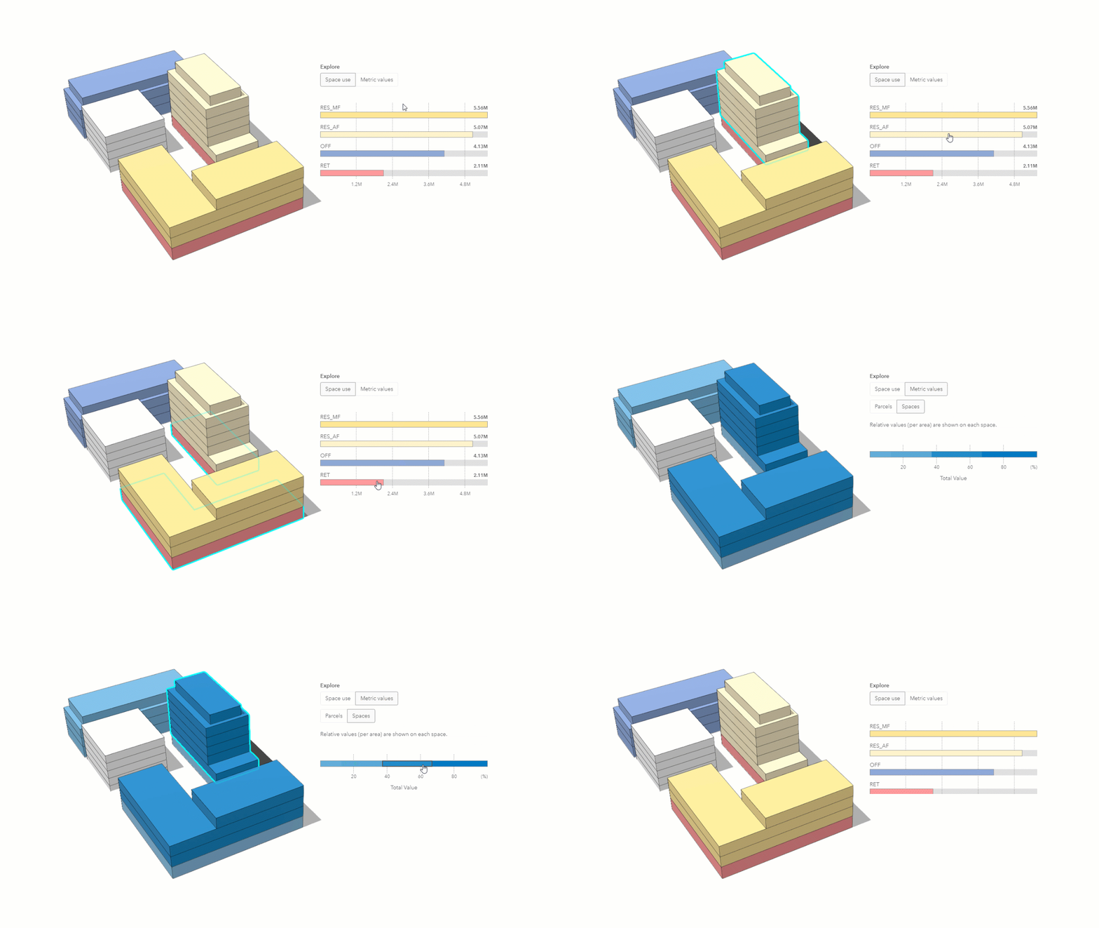
Using ArcGIS Urban, the platform will bring together relevant spatial data, planning policies, and development information into a single, accessible environment. Municipal teams will be able to visualize existing conditions, explore alternative development scenarios, and better understand the implications of future growth.
Rather than navigating disconnected reports and datasets, the platform creates a shared foundation for more coordinated, transparent, and evidence-based planning.
Turning Possibilities into Action
Every community faces different challenges. The pilot will be tailored to a priority identified by the municipal partner, whether it involves accommodating new housing, evaluating infrastructure needs, strengthening climate resilience, or exploring redevelopment opportunities.
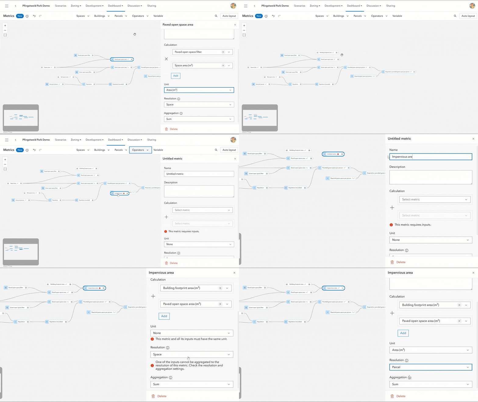
An interactive dashboard will translate complex information into accessible insights, helping municipal teams compare options, understand trade-offs, and identify opportunities for action.
The goal is not simply to build a digital model, but to demonstrate how technology can support real planning decisions, strengthen municipal capacity, and help communities plan more confidently for the future.
Innovating with Purpose
Building on our experience developing digital twin models, Re:Public is bringing emerging technologies into practical municipal planning applications.
Through this pilot, we aim to demonstrate how digital tools can bridge the gap between data, policy, and implementation, creating new opportunities for municipalities to plan proactively, work collaboratively, and make more informed decisions.
Project Focus Areas
The Digital Community Planning Platform can integrate multiple urban planning themes, including:
Housing & Development
Climate Resilience
Water & Infrastructure
Mobility & Transportation
Energy & Sustainability
Public Health & Well-being
Open Data & Engagement
Additional themes may be explored based on municipal priorities.
We invite municipal governments and planning agencies interested in:
Providing access to relevant municipal datasets (e.g., zoning, infrastructure, climate, housing).
Collaborating on defining project objectives and pilot area selection.
Testing and validating digital twin applications for local governance and urban planning.
Engaging in knowledge-sharing and potential funding opportunities.
Interested in exploring what this could mean for your community?
Be at the forefront of municipal innovation by participating in this transformative digital planning initiative. Let’s build better, more resilient cities together.
For more information, contact Michelle Blom at blom@republicurbanism.com.