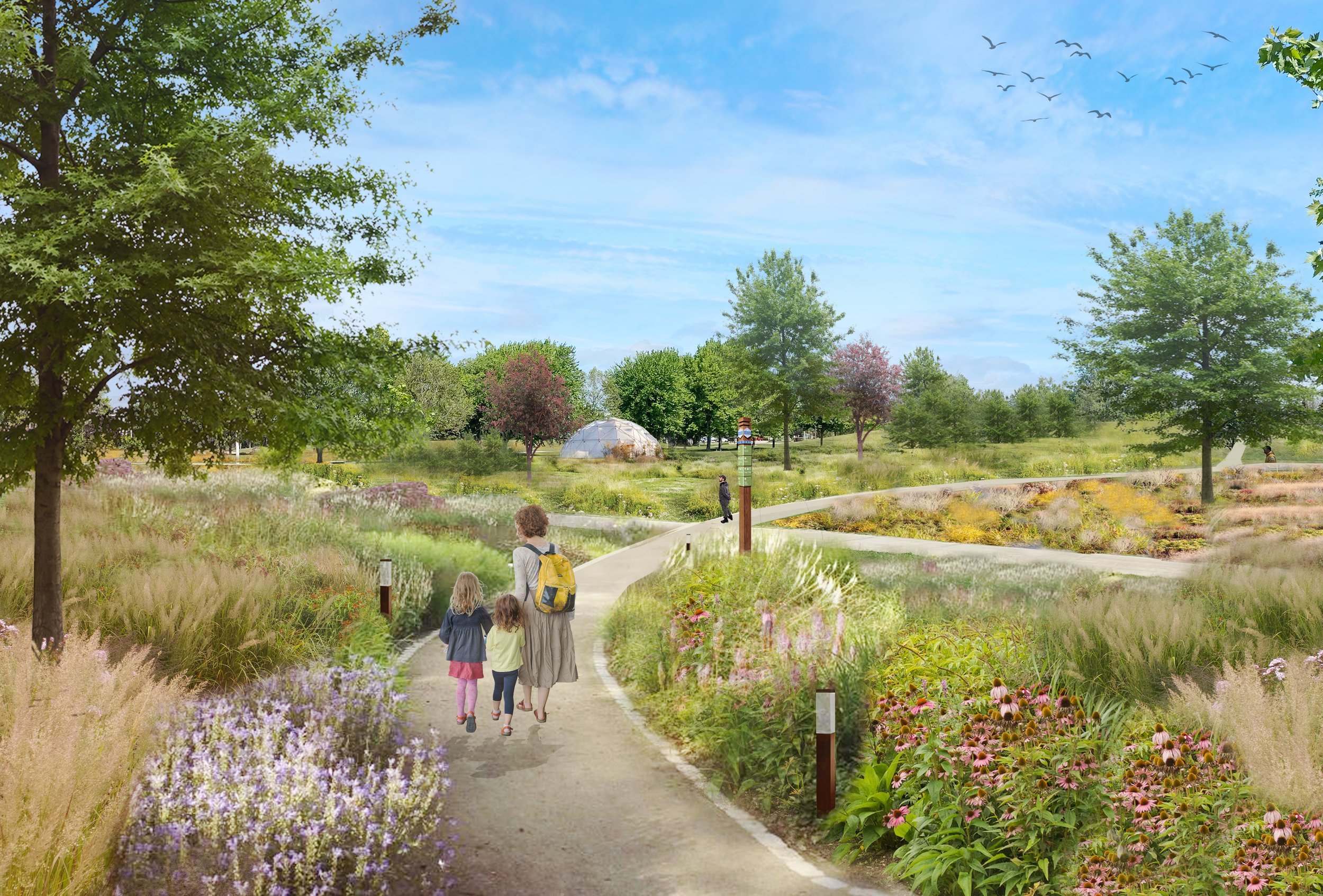
Our guiding philosophy is simple: places, not templates.



Re:Public, founded in 2017, is a Montreal-based planning and design consultancy specializing in community planning, policy development, urban design, and engagement. We are a boutique team of seven, because we believe that the best planning outcomes come from close collaboration, genuine curiosity about place, and solutions that are crafted for the project in front of us rather than pulled from a shelf.
Our guiding philosophy is simple: places, not templates. Every community we work with has its own history, character, and set of challenges, and we think the planning process should reflect that. We bring a rigorous and creative approach to each engagement, working closely with municipalities, communities, and rightsholders to develop responses that are grounded in local context and built for long-term implementation.

Grounded
in story, places, and people
Curiosity
for emerging solutions
Bold Ideas
for every size community
Our Services
Planning & Policy
We connect long-term vision with practical implementation. By considering policy, development, design, and municipal processes together, we create plans grounded in firsthand experience with municipal planning and approvals.
-
We develop Official Plans that translate a community’s long-term vision into clear, practical policy. Grounded in local context, growth trends, and provincial direction, our work ranges from comprehensive reviews and new Official Plans to targeted Official Plan Amendments.
-
We develop Secondary Plans that provide clear direction for how an area can evolve over time. We bring together land use, density, built form, mobility, and public realm considerations to create a coordinated framework for growth and implementation.
-
We develop Zoning By-laws that translate planning policy into clear and easy to implement regulation. Our work ranges from comprehensive reviews and new by-laws to regulatory updates.
-
We support development projects from early concept through the municipal approvals process, bringing planning and urban design expertise to each stage. Our work includes planning applications, due diligence, development concepts, and policy and zoning analysis.
-
We develop Community Improvement Plans that help municipalities support investment toward local priorities. Our work ranges from comprehensive new CIPs and program design to targeted amendments and updates.
-
We design and lead inclusive, accessible engagement that gives communities meaningful opportunities to shape project outcomes. Our work ranges from engagement strategies and statutory consultation to workshops, open houses, surveys, interviews, design charrettes, and interactive activities.
-
We assess the development potential of sites by bringing together planning policy, zoning, built form, and market considerations. Our work includes site due diligence, development scenarios, yield calculations, and concept plans.
Urban Design
We shape places from the building and site scale to streets, public spaces, and complete communities. We combine design, visualization, and planning to create compelling visions with clear, implementable direction for how places grow and evolve.
-
Our master planning work brings land use, built form, mobility, public realm, and infrastructure together into a cohesive vision. From early concepts to implementation strategies, Re:Public helps establish a clear direction for long-term development.
-
Our concept plans translate planning objectives and site conditions into a clear vision for development. Through iterative design and visualization, we explore how density, built form, movement, public space, and landscape can come together to make the most of a site.
-
Our team prepares plans of subdivision that balance development objectives with good neighbourhood design and municipal requirements. Lot patterns, housing mix, streets, parks, connections, and surrounding context are considered as part of an integrated plan..
-
Re:Public creates locally grounded, highly visual design guidelines that turn community vision into clear direction for development. Our team pairs built form, site, streetscape, and public realm guidance with practical tools for implementation and development review.
-
Our streetscape work combines mobility, public realm, and placemaking to improve how streets function and feel. Re:Public develops concepts for planting, seating, lighting, materials, active transportation, parking, and other elements through plans and visualizations.
-
Re:Public leads collaborative design sessions that bring communities, clients, and project teams directly into the design process. Mapping, sketching, visual exercises, and facilitated discussion are used to test ideas and develop design directions together.
-
Our urban context studies provide the foundation for development and design decisions. Re:Public analyzes built form, scale, streetscape, heritage, mobility, public realm, and surrounding development patterns to identify opportunities and guide context-sensitive design.
Municipal Services
We provide flexible planning support that adapts to the needs of each municipality. From added capacity and development review to strategic advice and complex projects, we work as an extension of your team, bringing hands-on municipal experience to every assignment.
-
We provide flexible development review support to help municipalities manage development applications efficiently and consistently. Whether augmenting staff capacity or leading the review process, we ensure applications are evaluated thoroughly and in accordance with municipal policies and provincial legislation.
Services include:
Complete application review and circulation
Planning analysis and policy conformity review
Preparation of staff reports and recommendations
Site plan, subdivision, and consent review
Coordination with applicants and technical agencies
Pre-consultation with applicants
Virtual attendance at Council, Committee, and public meetings
Development agreement review and implementation support
-
We help municipalities prepare and update planning policy that responds to provincial direction, growth pressures, and local needs, with clear, practical frameworks that staff can effectively implement.
Services include:
Official Plan preparation and updates
Zoning By-law reviews and comprehensive updates
Community Improvement Plans (CIPs)
Secondary Plans and area-specific policies
Housing and growth policy
Provincial policy conformity reviews
-
We provide independent, objective reviews of planning applications and technical studies, offering clear, defensible advice that helps municipalities navigate complex applications and make informed decisions with confidence, and ensuring submissions meet legislative and policy requirements.
Services include:
Review of Planning Rationale Reports
Urban design review
Environmental and technical study review
Transportation and servicing report review
Development application peer review
Independent planning assessments
Recommendations for conditions of approval
-
Our experienced planners provide expert evidence and strategic support throughout Ontario Land Tribunal proceedings, working with legal counsel to deliver clear, defensible planning arguments grounded in policy and evidence.
Services include:
Expert witness testimony
Witness statement preparation
Case preparation & policy analysis
Participation in mediation
Hearing representation
-
We provide ongoing planning support that integrates seamlessly with municipal teams, helping manage workloads and maintain responsiveness.
Services include:
Front-line planning support, responding to applicant and public inquiries
Managing planning applications from intake through review
Coordinating circulation and preparing planning comments
-
We help municipalities plan for sustainable growth by developing strategies that balance housing, employment, infrastructure, and community priorities.
Services include:
Growth management strategies
Land needs assessments
Settlement area reviews
Housing needs analysis
Employment land strategies
Long-range planning studies
Population and development forecasting
-
We work with municipalities to improve planning processes, increase efficiency, and modernize service delivery while maintaining transparency and accountability.
Services include:
Development review process improvements
Planning workflow assessments
By-law administration reviews
Service delivery modernization
Organizational and governance reviews
Standard operating procedures
Performance metrics and implementation plans
-
We provide hands-on GIS and mapping support tailored to municipal planning needs, from maintaining and improving internal data systems to creating clear, accessible tools for staff, Council, and the public.
Services include:
Official Plan and zoning map updates and remapping
GIS file management, organization, and database maintenance
Creation of interactive maps and public-facing dashboards
Custom mapping for planning studies, reports, and Council materials
Spatial analysis to support growth management, land use, and policy decisions
Data visualization and story maps for engagement and communication
-
Engagement should be purposeful, efficient, and directly connected to decision-making. We design and facilitate consultation processes that gather clear, actionable input, meet legislative requirements, and support staff and Council in making informed decisions.
Services include:
Public engagement strategies
Community workshops and open houses
Online engagement
Partner and rightsholder consultation
Facilitation and meeting design
Surveys and feedback analysis
Engagement summaries and reporting
Spatial Analysis and Digital Twin
We use GIS and digital tools to turn complex spatial data into clear insights for planning and decision-making. From growth and housing analysis to land evaluation and development scenarios, we help communities understand what’s happening today and test what’s possible next.
-
We build project-specific spatial datasets by bringing together municipal, provincial, open-source, and other available data. Where gaps exist, our team develops new datasets to support planning, land use, housing, and development analysis.
-
Our GIS mapping brings complex planning information together in a clear spatial picture. From existing conditions and policy constraints to growth, housing, infrastructure, and development opportunities, our maps reveal patterns and connections that inform planning decisions.
-
We turn spatial analysis into accessible, compelling visuals that make complex information easier to explore and communicate. Our work ranges from interactive project mapping and graphics to interactive dashboards and digital tools that support engagement and decision-making.
-
Our spatial analysis combines multiple datasets to calculate indicators, measure accessibility, and uncover relationships across a community. We use these methods to assess everything from access to parks and services to housing needs, land suitability, and development potential.
-
Our team organizes and structures spatial data so it can support a project from analysis through implementation. We build usable geospatial databases that bring multiple data sources together and can be updated as conditions and information change.
-
We use spatial data to uncover patterns and relationships that may not be visible through traditional analysis alone. This can reveal concentrations, gaps, opportunities, and emerging trends across housing, land use, mobility, services, development, and the environment.
Featured Projects
-
![]()
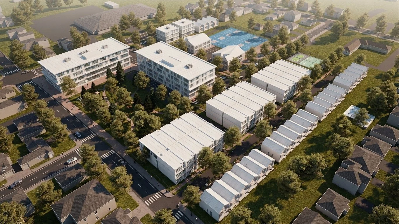
Cornwall Community Housing Development Plan
-
![]()
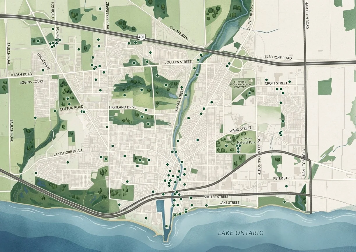
Port Hope Land Inventory
-
![]()
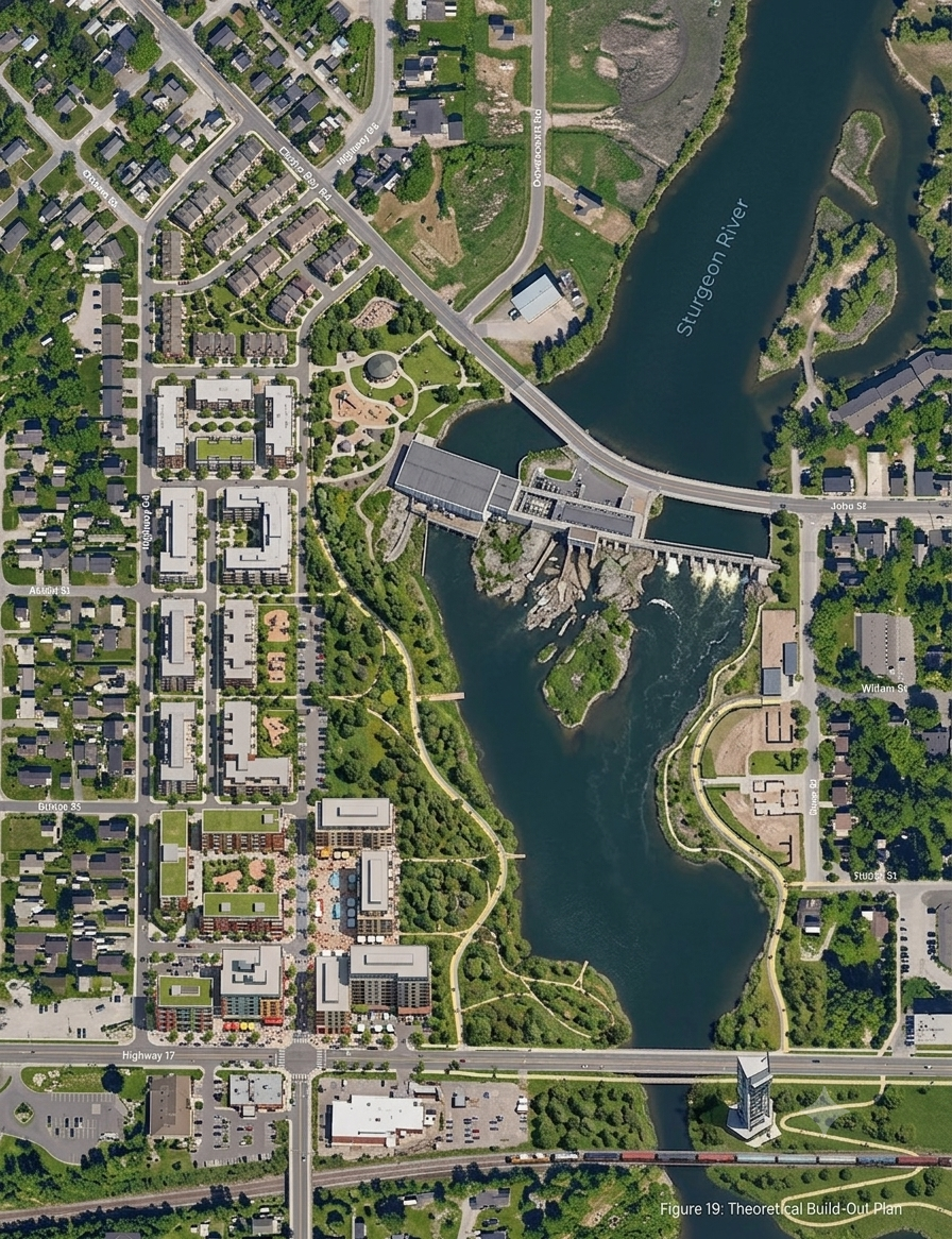
West Nipissing Land Use Strategy
-
![]()
Toronto Zoo Master Plan
-
![]()
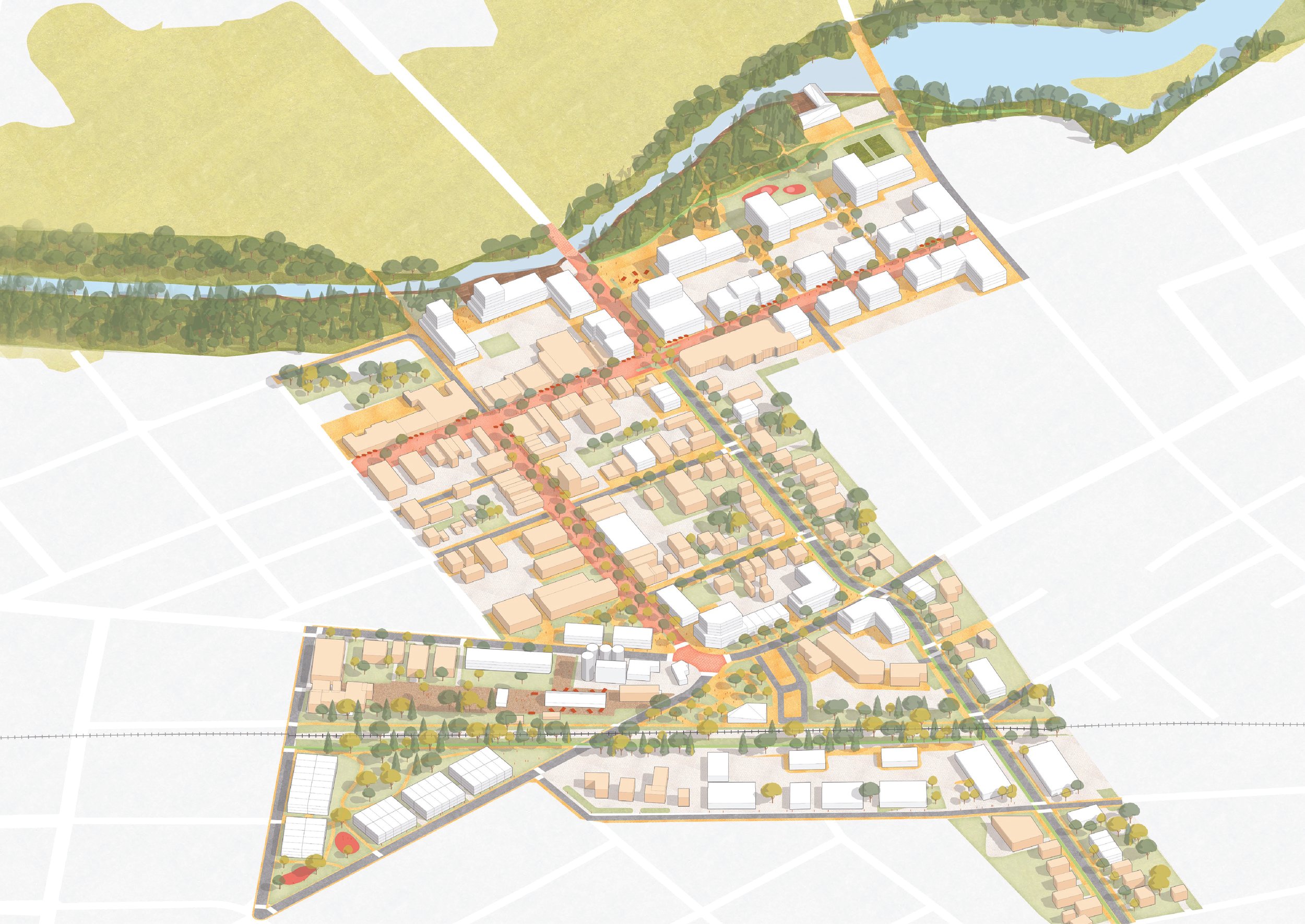
Strathroy Downtown Master Plan
-
![]()
Sarnia Waterfront Master Plan