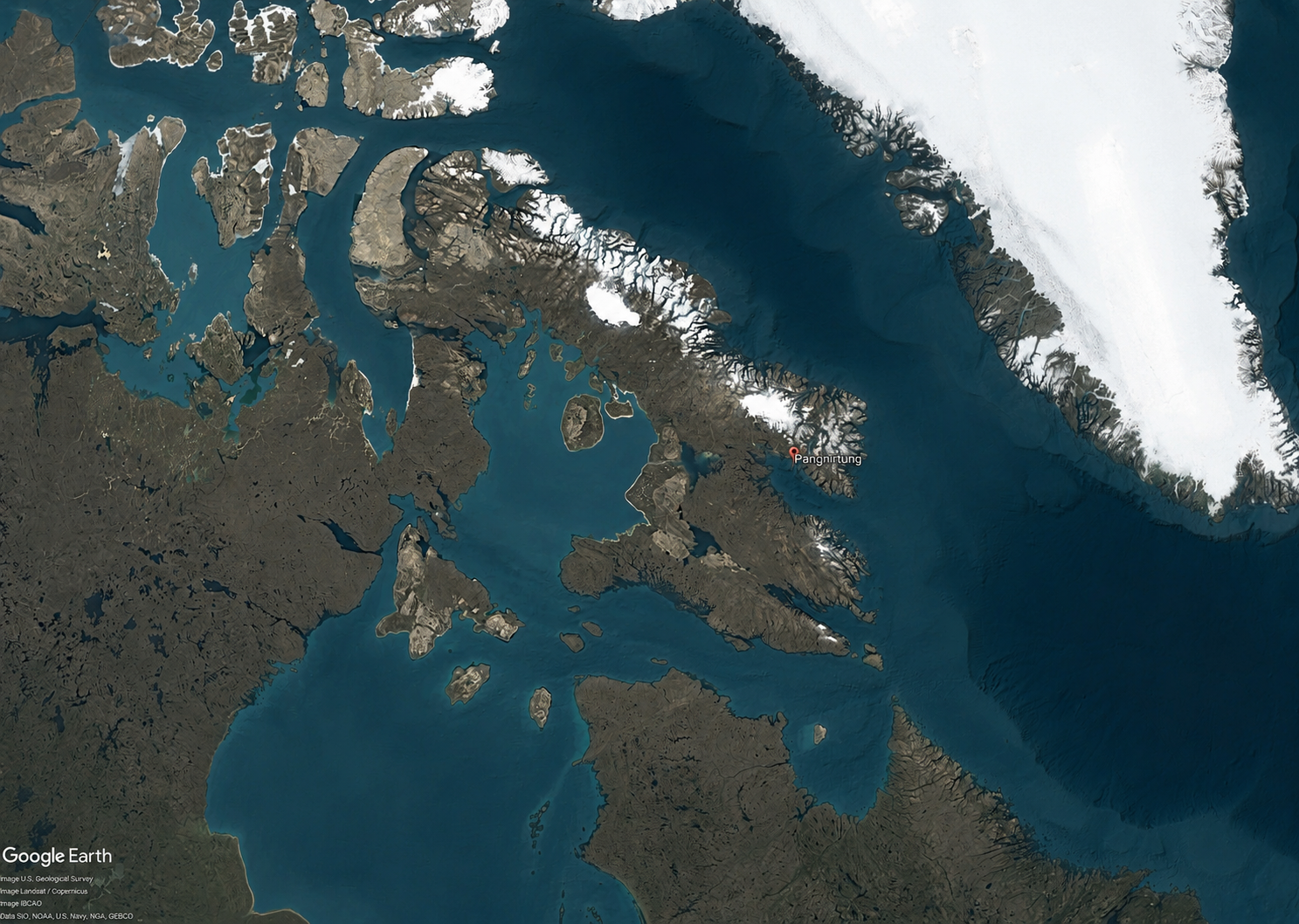
Pangnirtung Climate Adaptation Mapping

Hamlet of Pangnirtung

Pangnirtung, Nunavut

2025-2026

Crown-Indigenous Relations and Northern Affairs Canada (CIRNAC)
Government of Nunavut
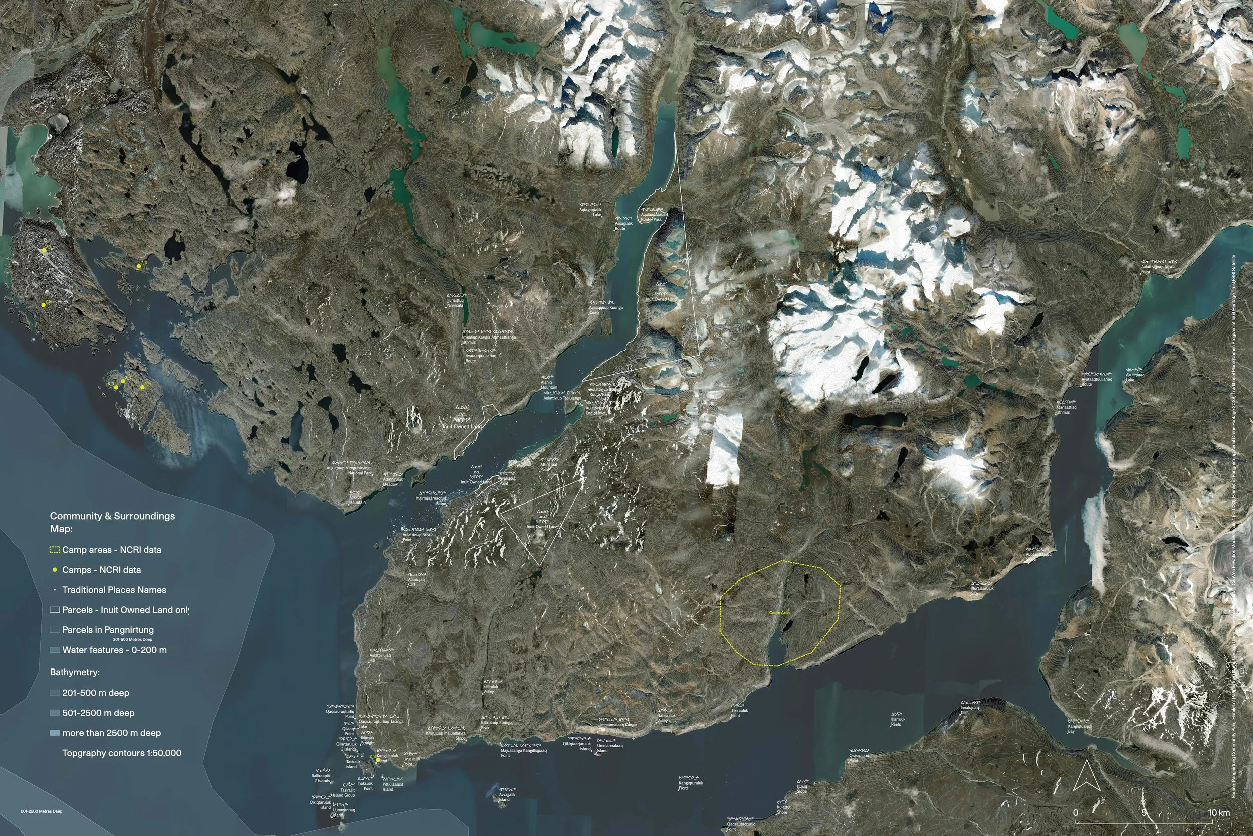
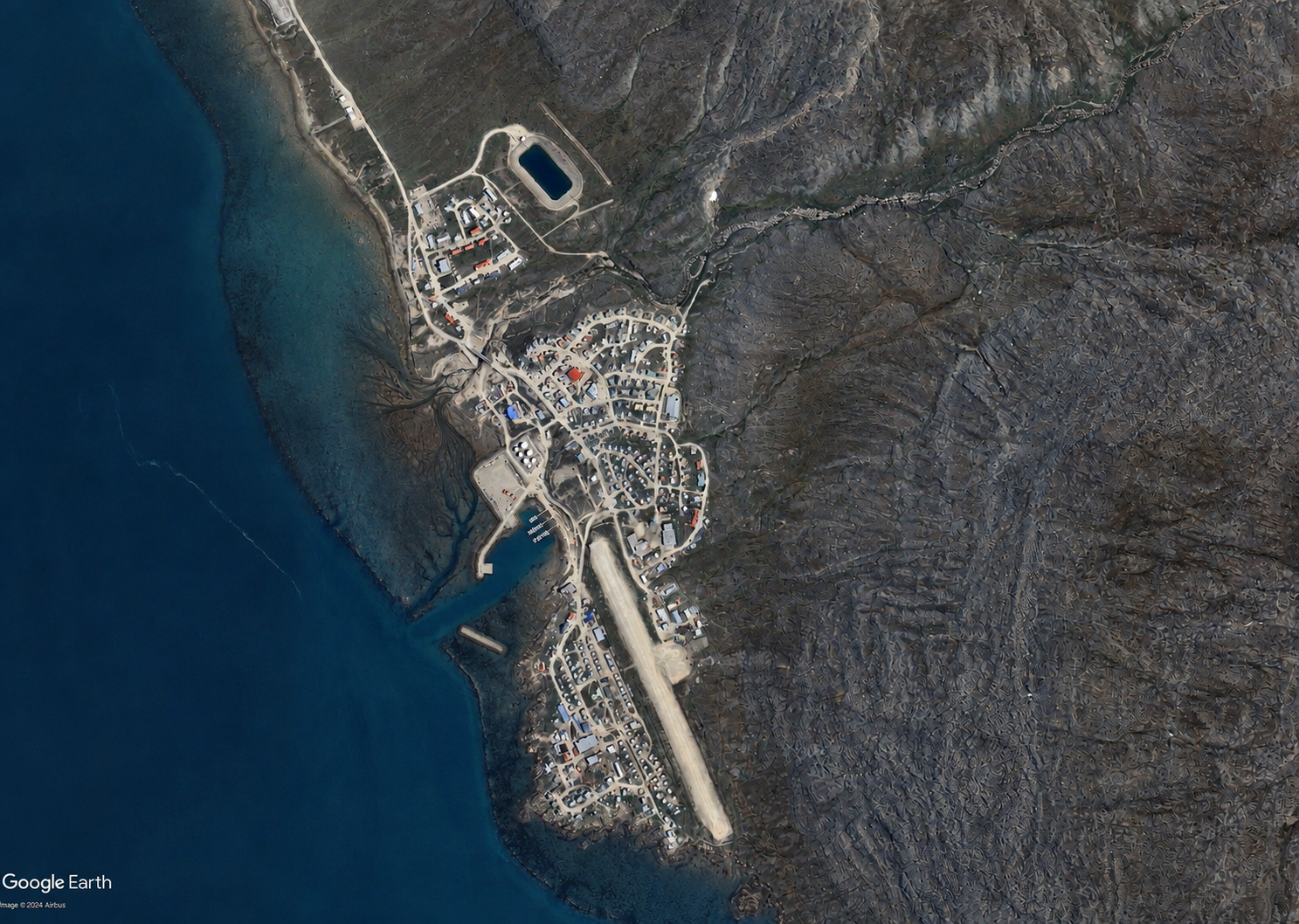
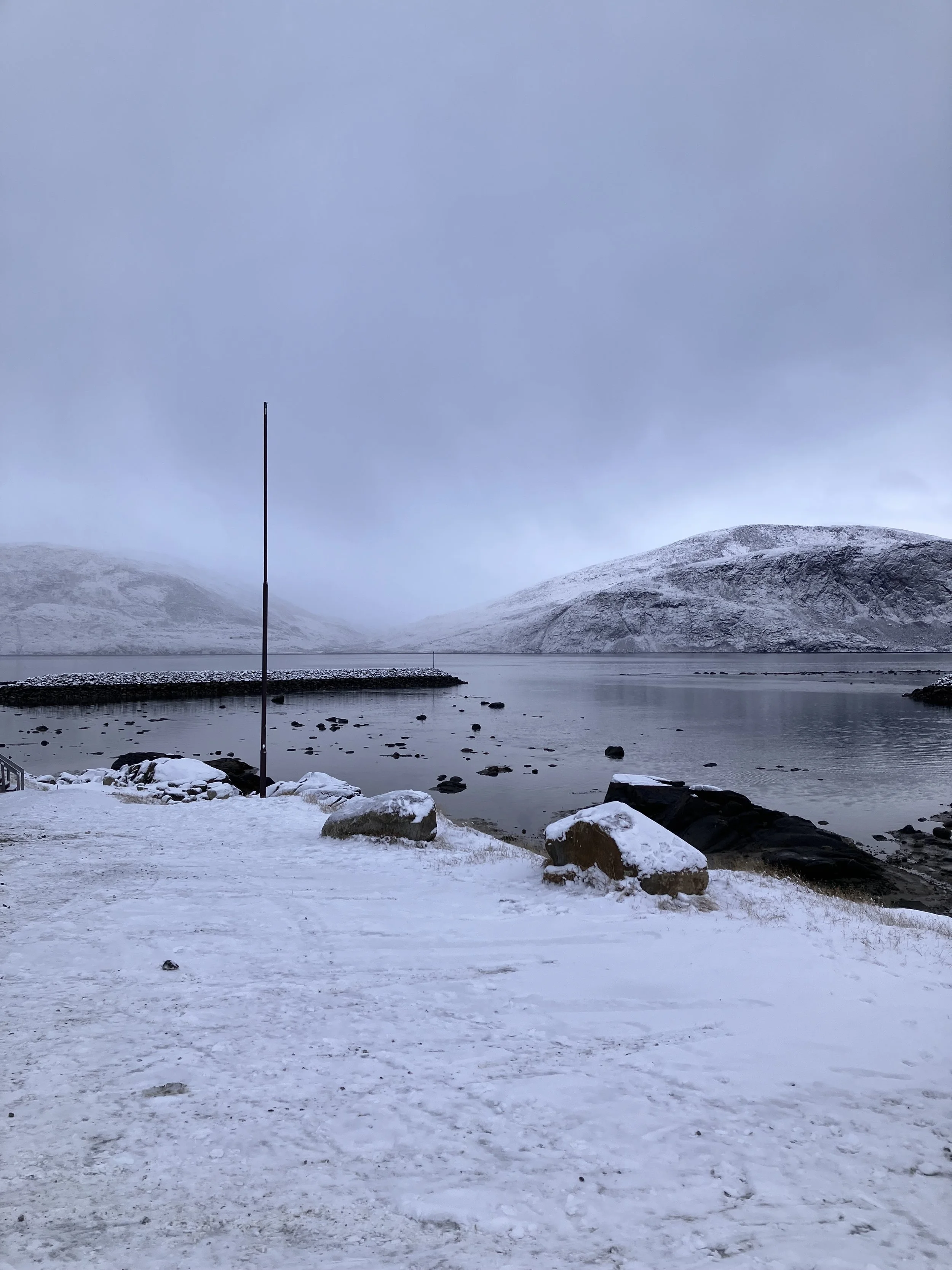
Pangnirtung is experiencing rapid environmental change in a landscape where opportunities for future growth are already constrained. Steep terrain, permafrost, coastal exposure, drainage conditions, and a limited supply of developable land create complex planning challenges that are becoming more pronounced as the climate changes
Working with the Hamlet of Pangnirtung, in partnership with CIRNAC and the Government of Nunavut, Re:Public is helping lay the groundwork for a new approach to climate-informed community planning. The project applies the CAN/BNQ 9701-500/2023 risk-based planning standard to bring together environmental data, Inuit Qaujimajatuqangit (IQ), land use, and infrastructure considerations to better understand where and how future development can occur.
As the first application of the standard in Nunavut, the project included a comprehensive data review and gap analysis, community engagement, and the development of a methodology and scope for future Composite Susceptibility and Land Development Suitability mapping. Rather than considering environmental hazards in isolation, the approach looks at how changing conditions interact with one another, the built environment, and the ways land is used.
Planning for a Changing Landscape
Today’s rapidly changing climate is adding new pressures to an already limited supply of developable land, as shifts in permafrost, precipitation, sea ice, drainage, and coastal conditions alter how the land behaves.
Planning for growth means understanding these changes together rather than in isolation. By examining how environmental conditions interact and compound, the project is building a clearer picture of where change may create challenges for infrastructure, access, and future development, and what that means for the community’s long-term growth.
Community Knowledge as Evidence
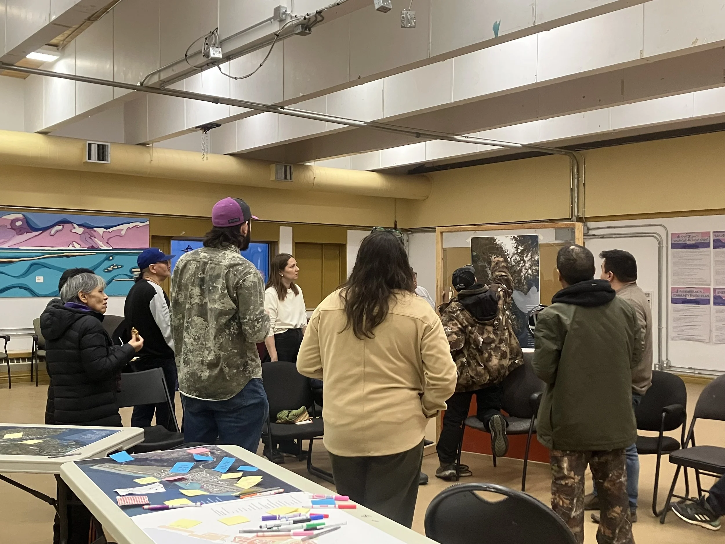
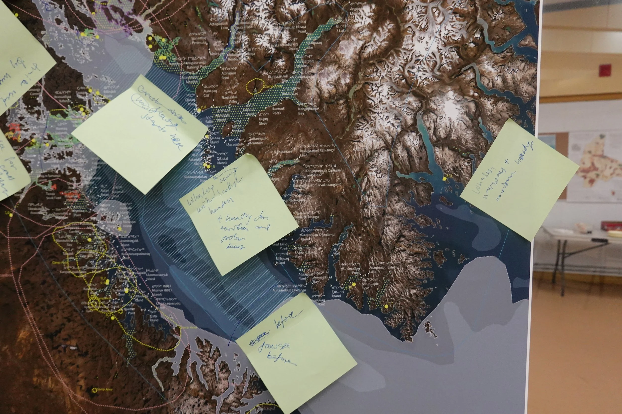
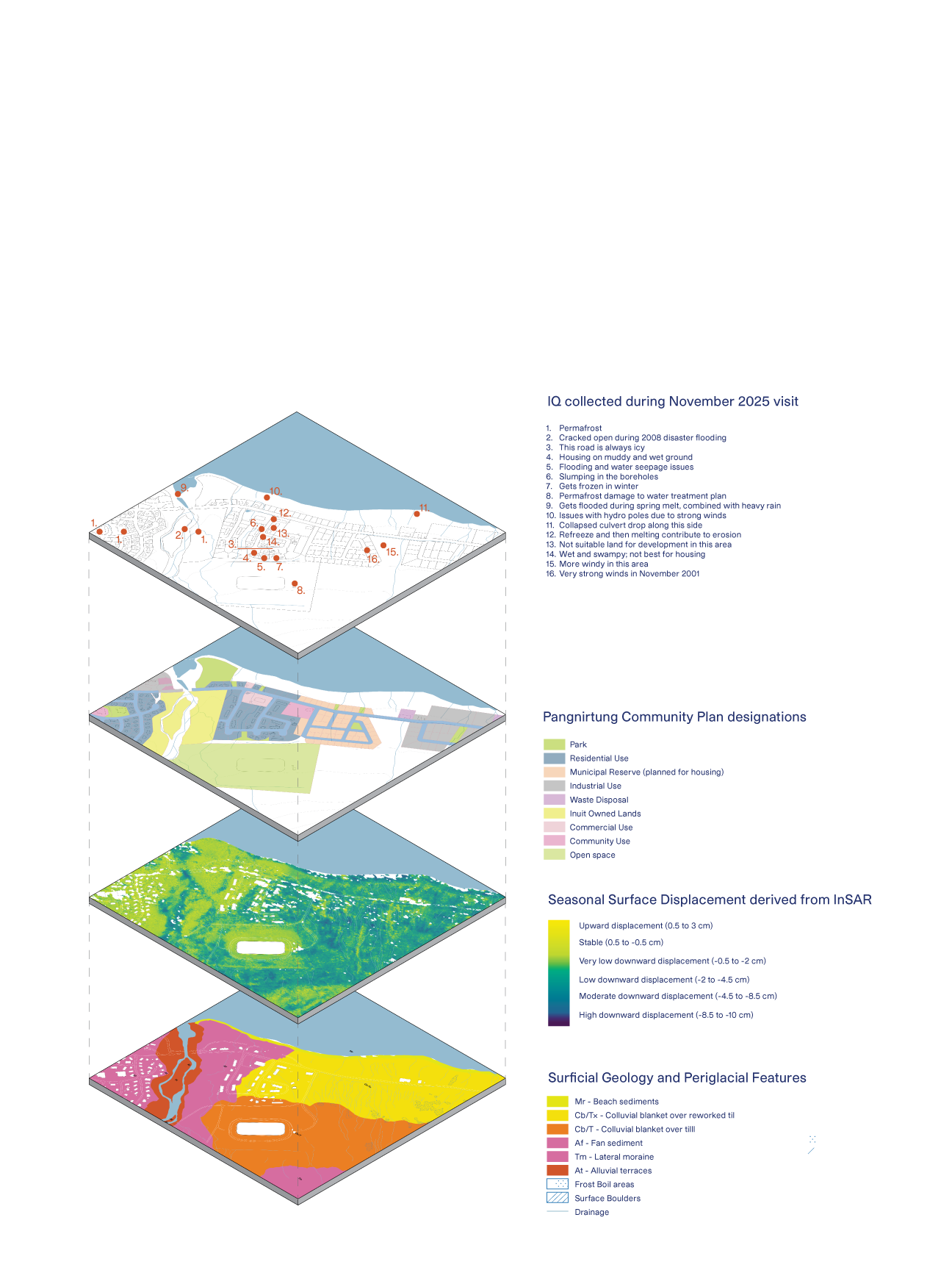
Environmental datasets tell only part of the story. Inuit Qaujimajatuqangit and lived experience provide detailed knowledge of how the land, water, ice, and weather have changed over time including conditions that may not yet appear in conventional datasets.
Through two phases of engagement, community members, Elders, land users, Hamlet staff, infrastructure operators, and other local representatives shared observations that were spatially connected to the land through mapping. This knowledge helps identify emerging hazards, understand relationships between environmental systems, and validate or challenge findings from scientific and geospatial data.
Understanding the Data Landscape
Working in a data-scarce northern context means understanding not only what information exists, but how confidently it can be used.
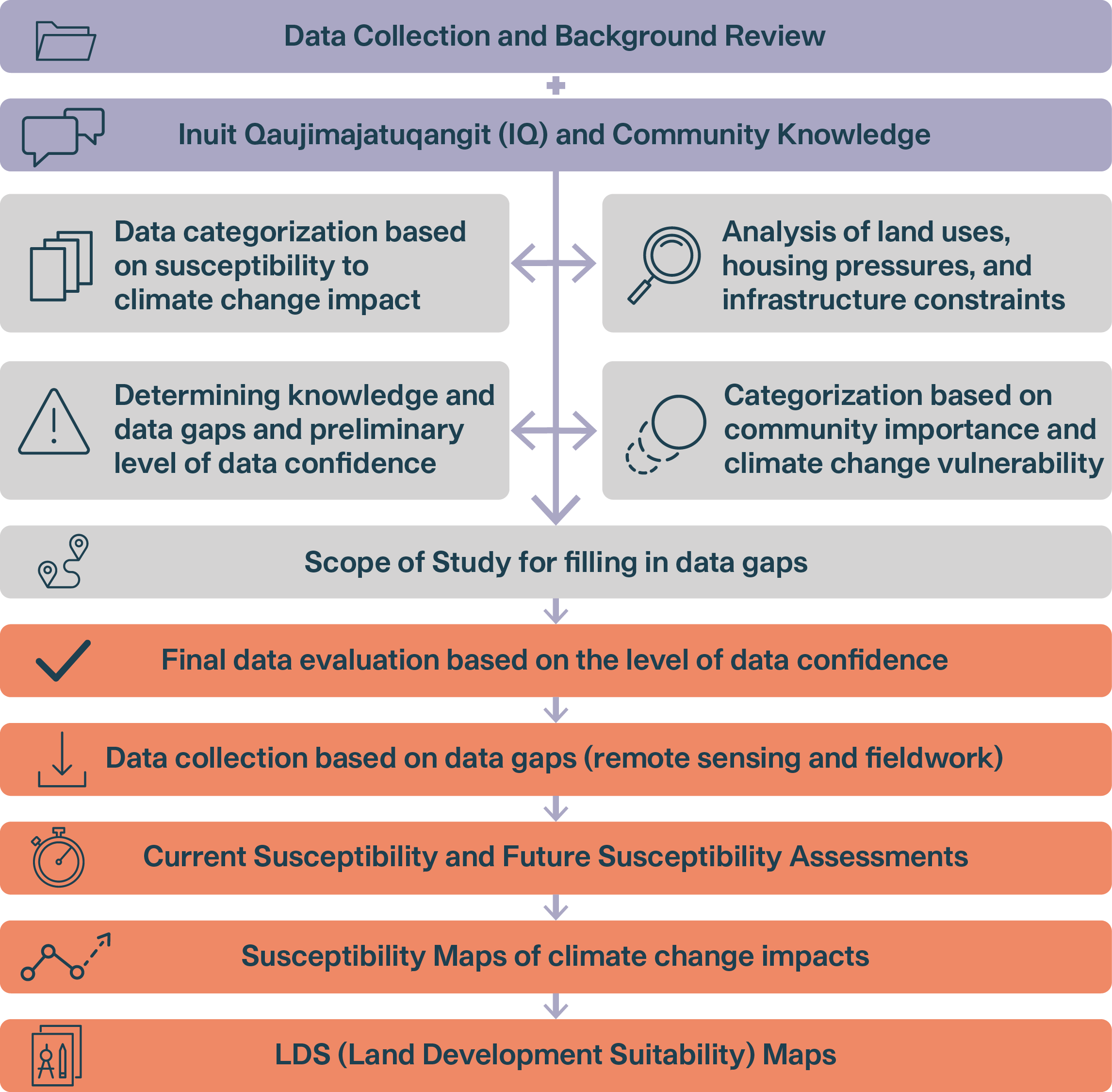
The project reviewed available information across climate, permafrost, terrain, hydrology, cryosphere, coastal processes, mass movement, infrastructure, and community knowledge. A structured Data Catalogue was developed to organize these sources, connect them to specific susceptibility variables, identify their level of confidence, and pinpoint where additional investigation is needed.
Rather than allowing missing or coarse data to halt the planning process, the framework identifies where new fieldwork, monitoring, remote sensing, or community knowledge can have the greatest valuecreating a system that can be refined as new information becomes available.
What Comes Next?
This first phase lays the groundwork for moving from understanding environmental change to applying it directly to land use and planning decisions in Pangnirtung.
The next phase will fill priority data gaps through targeted field investigations, remote sensing, climate projections, and continued integration of Inuit Qaujimajatuqangit (IQ). This information will support Composite Susceptibility and Land Development Suitability (LDS) mapping, bringing multiple environmental conditions together to identify where land may be suitable, conditionally suitable, or unsuitable for different forms of development.
Over time, these tools can be integrated into Pangnirtung’s broader planning framework, from the Official Plan and Zoning By-law to development review, infrastructure standards, and decisions about community expansion. Designed to evolve as new data and community knowledge become available, the approach provides a long-term foundation for climate-informed planning.
Project Contact

Michelle Blom
Partner | Urban Design & GIS
blom@republicurbanism.com
Featured Projects
-
![]()
Cornwall Community Housing Development Plan
-
![]()
Port Hope Land Inventory
-
![]()
West Nipissing Land Use Strategy
-
![]()
Toronto Zoo Master Plan
-
![]()
Strathroy Downtown Master Plan
-
![]()
Sarnia Waterfront Master Plan